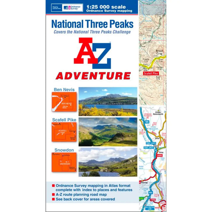
A-Z Adventure Atlas National Three Peaks
The A-Z Adventure series features the accuracy and quality of Ordnance Survey's Explorer mapping in a convenient book, eliminating the need to fold and re-fold a large sheet map to the desired area. Explorer is Ordnance Survey's most detailed mapping at a scale of 1:25 000 showing public rights of way, open access land, national parks, tourist information, car parks, public houses and camping and caravan sites.
Increasingly popular, the National Three Peaks is considered to be one of the ultimate walking challenges in the UK; the objective being to climb the highest mountains in Scotland (Ben Nevis), England (Scafell Pike) and Wales (Snowdon).
The A-Z National Three Peaks Adventure Atlas is indispensable on and off the hill with 80 pages packed full of useful information, including:
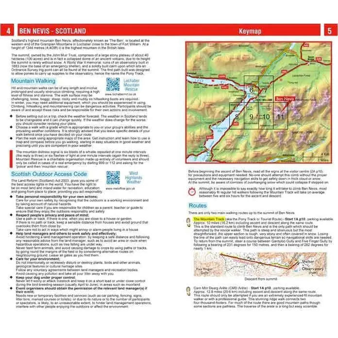
- Essential planning and safety guidance
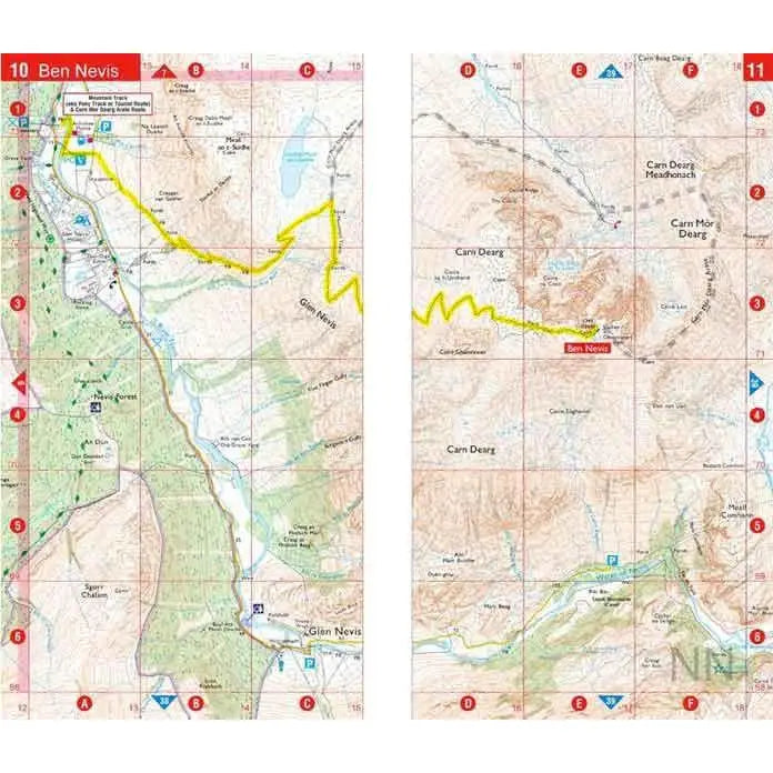
- OS Explorer mapping covering routes to each peak
- Both suggested and alternative routes highlighted on the map
- Route descriptions
- Start points and parking details
- Recommended kit list
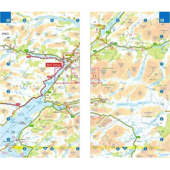
- A-Z road mapping at 3.5 miles to 1 inch for travelling between peaks
- QR code access to a broad range of helpful web sites including weather reports, map reading, official bodies and safety information
- OS Explorer map index to natural features and locations with both page references and six figure National Grid References
- AZ road map index to cities, towns and villages