Long Distance Hiking Trails UK Maps
Are you looking for a longer walk to enjoy beautiful views and keep active? Our long distance hiking trails UK maps can help you keep on track and reach your destination safely.
Our Cotswold Way Harvey SplashMap is printed onto weatherproof, washable, wearable, breathable material to stay useful during wetter weather. If you are looking for a challenging route, our waterproof My Minimap National Three Peaks Challenge Series is the perfect choice.
-
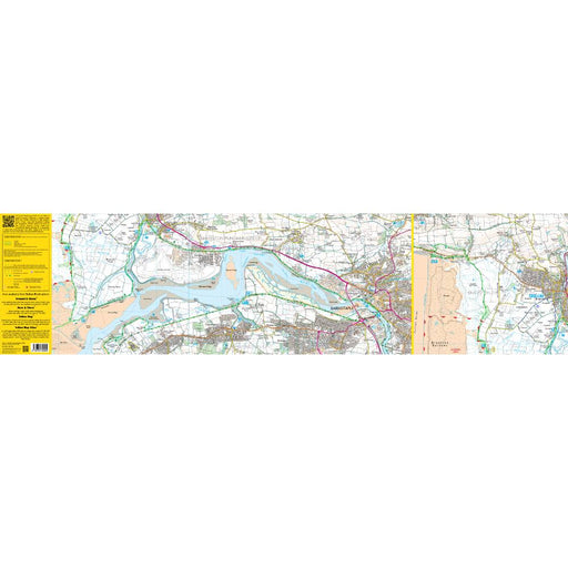
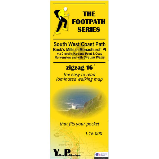
South West Coast Path Zigzag map - 4 - Buck's Mills to Menachurch Point
£ 7.99This zigzag map covers the Buck's Mills to Menachurch Point section of the South West Coast Path, via Clovelly, Hartland Point and Quay and Morwens...
View full details£ 7.99 -
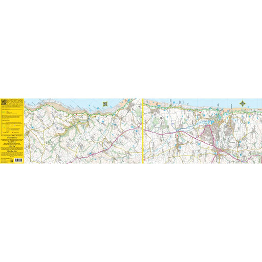
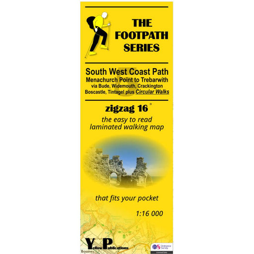
South West Coast Path Zigzag map - 5 - Menachurch Point to Trebarwith
£ 7.99This zigzag map covers the Menachurch Point to Trebarwith section of the South West Coast Path, via Bude, Widemouth, Crackington, Boscastle and Tin...
View full details£ 7.99 -

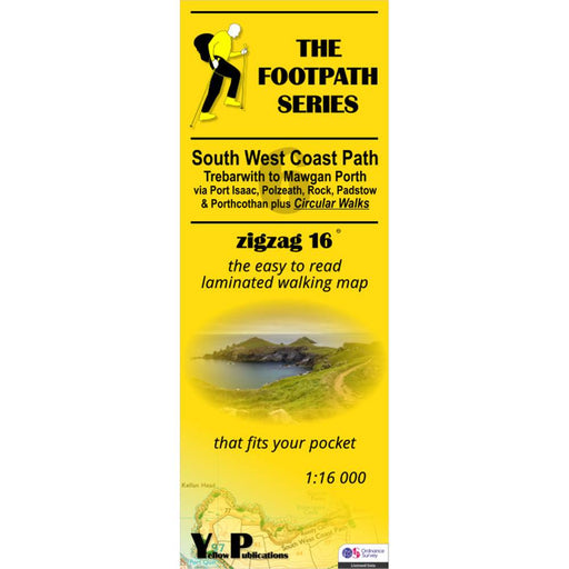
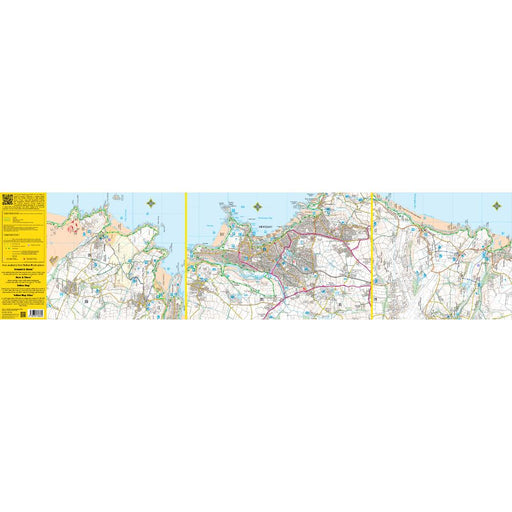
South West Coast Path Zigzag map - 6 - Trebarwith to Mawgan Porth
£ 7.99This zigzag map covers the Trebarwith to Mawgan Porth section of the South West Coast Path, via Port Isaac, Polzeath, Rock, Padstow and Porthcothan...
View full details£ 7.99 -
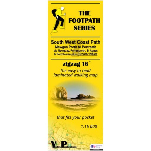
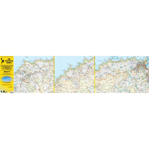
South West Coast Path Zigzag map - 7 - Mawgan Porth to Portreath
£ 7.99This zigzag map covers the Mawgan Porth to Portreath section of the South West Coast Path, via Newquay, Perranporth, St Agnes and Porthtowan. As we...
View full details£ 7.99 -
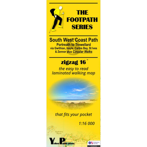
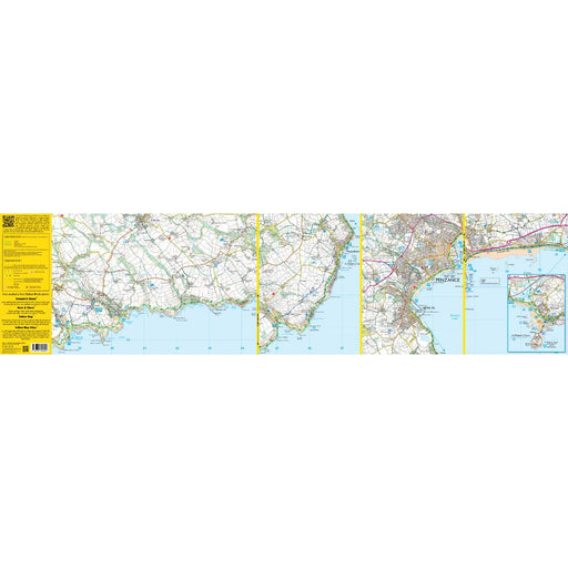
South West Coast Path Zigzag map - 8 - Portreath to Trewellard
£ 7.99This zigzag map covers the Portreath to Trewellard section of the South West Coast Path, via Gwithian, Hayle, Carbis Bay, St Ives and Zennor. As we...
View full details£ 7.99 -
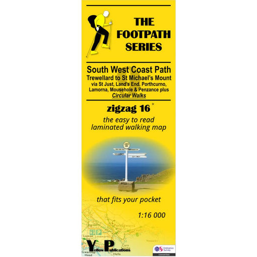
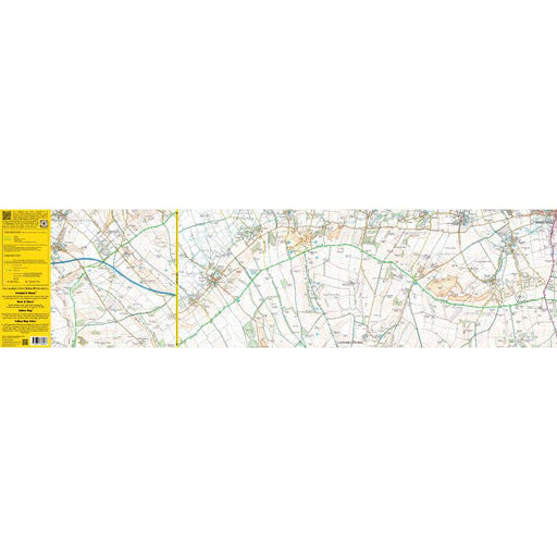
South West Coast Path Zigzag map - 9 - Trewellard to St Michael's Mount
£ 7.99This zigzag map covers the Trewellard to St Michael's Mount section of the South West Coast Path, via St Just, Land's End, Porthcorno, Lamorna, Mou...
View full details£ 7.99 -
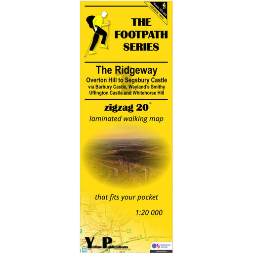
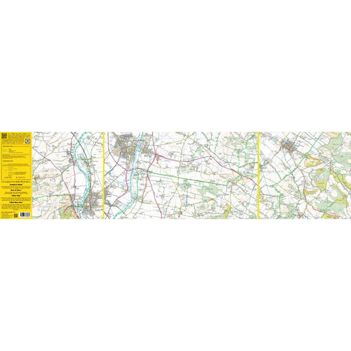
The Ridgeway Zigzag map - 1 - Overton Hill to Segsbury Castle
£ 7.99This easy-to-read Zigzag map of The Ridgeway covers the section from Overton Hill to Segsbury Castle, via Barbury Castle, Wayand's Smithy, Uffingto...
View full details£ 7.99 -
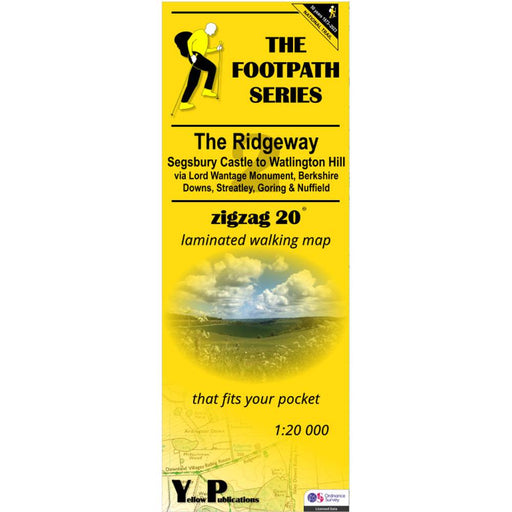
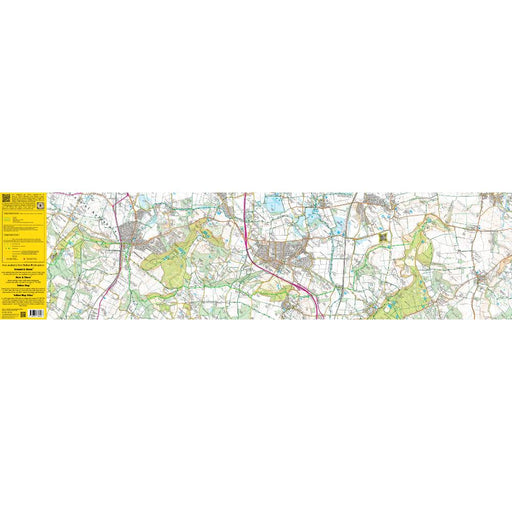
The Ridgeway Zigzag map - 2 - Segsbury Castle to Watlington Hill
£ 7.99This easy-to-read Zigzag map of The Ridgeway covers the section from Segsbury Castle to Watlington Hill via Lord Wantage Monument, Berkshire Downs,...
View full details£ 7.99 -
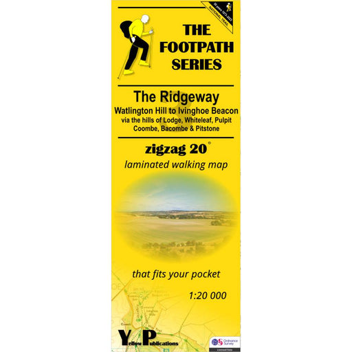
The Ridgeway Zigzag map - 3 - Watlington Hill to Ivinghoe Beacon
£ 7.99This easy-to-read Zigzag map of The Ridgeway covers the section from Watlington Hill to Ivinghoe Beacon via the hills of Lodge, Whiteleaf, Pulpit, ...
View full details£ 7.99 -
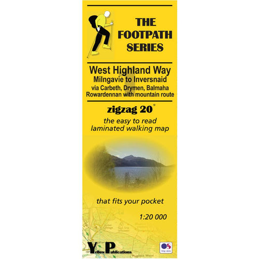
West Highland Way Zigzag map - 1 - Milngavie to Inversnaid
£ 7.99This Zigzag map covers the West Highland Way from Milngavie to Inversnaid, via Carbeth, Drymen, Balmaha and Rowardennan, including the mountain rou...
View full details£ 7.99 -
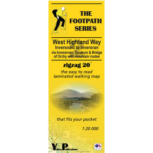
West Highland Way Zigzag map - 2 - Inversnaid to Inveroran
£ 7.99This Zigzag map covers the West Highland Way from Inversnaid to Inveroran, via Inverarnan. Tyndrum and Bridge of Orchy, including the mountain rout...
View full details£ 7.99 -
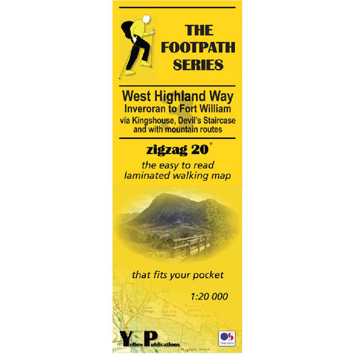
West Highland Way Zigzag map - 3 - Inveroran to Fort William
£ 7.99This Zigzag map covers the West Highland Way from Inveroran to Fort William, via Kingshouse, Devil's Staircase and Kinlochleven, via Inverarnan. Ty...
View full details£ 7.99 -
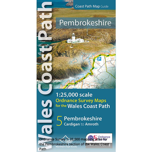
Pembrokeshire and the Pembrokeshire Coast Path Map - Wales Coast Path
£ 9.99Fabulous pocket-sized map booklet of Pembrokeshire showing the Pembrokeshire Coast Path National Trail and the Pembrokeshire section of the wales C...
View full details£ 9.99


