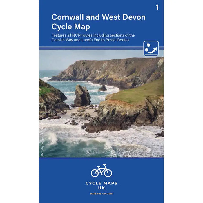
Cornwall and West Devon Cycle Map
This new Cornwall and West Devon Cycling map features all the NCN routes including sections of the Cornish Way and Land's End to Bristol cycle routes.
With clear and easy to read mapping at 1:100,000 scale this is the perfect scale for cyclists. It's in a hand pocket-sized format and is waterproof, tear and UV resistant. You can even wipe it clean.
Anyone looking to take their bike on holiday to Cornwall or West Devon, or anyone who lives there, really needs this excellent cycling map.
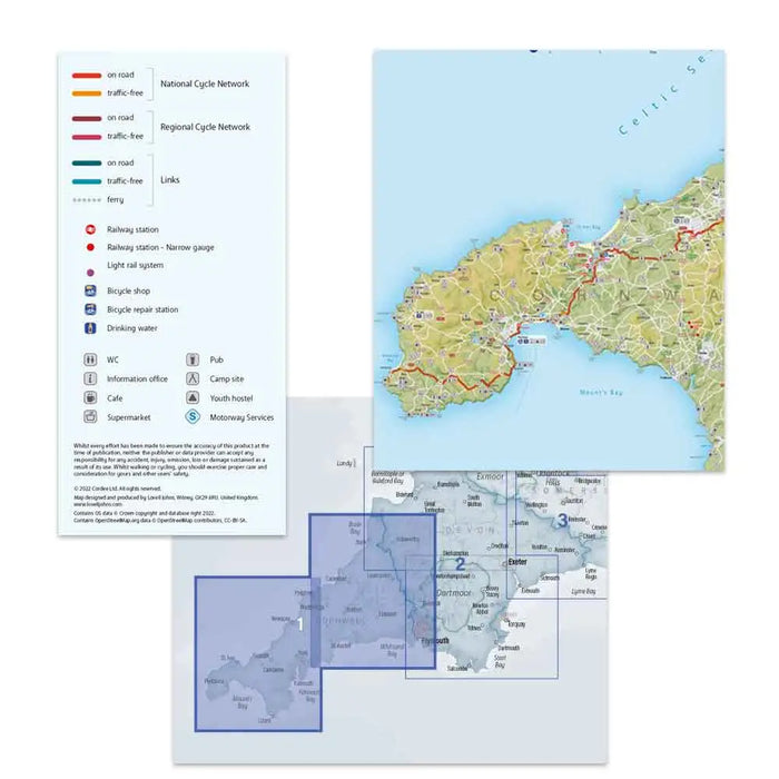
This is the first in a new series of cycle maps covering the whole country. The map covers from Lands End in Cornwall to Plymouth.
The maps are all produced at a scale of 1:100 000 showing important features including the National cycle Network. Sections on road, off road and traffic free are all shown in differing colours along with their route number. Other roads and their classification are shown enabling you to link rides or explore sections and discover new routes at home or further afield.
Facilities such as toilets, pubs, accommodation, bike shops, repair stations and railway stations are all shown. The mapping also has relief shading giving you a clear picture of the terrain (and steepness of any hills) you will encounter.
- Scale: 100 000 (10mm = 1 Km, 16mm = 1 Mile)
- Folded size: 163mm x 105mm
- Unfolded: 650mm x 800mm
- Tear and water-resistant paper
- Double sided
First edition - 2022