National Trails Maps UK
We have a large selection of National Trail maps available to help you stay on track while enjoying the beautiful views across the UK. The Footpath Series offer zigzag maps that provide a weatherproof, easy to read experience that fits conveniently into your pocket.
-
 Sold out
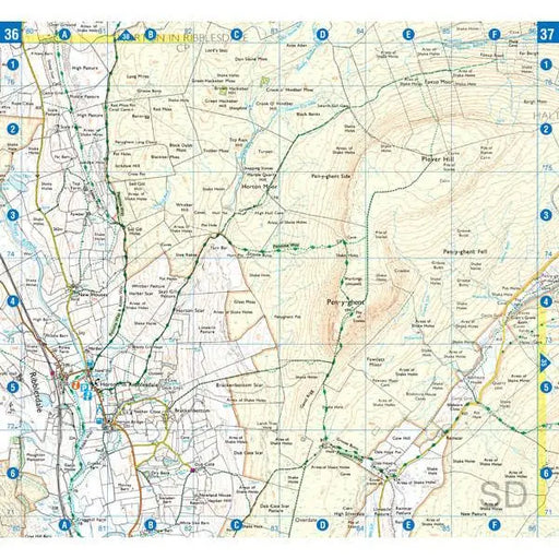
Pennine Way (South) A-Z Adventure Atlas
£ 8.95This map is out of print - take a look at the Harvey Map Pennine Way South as an alternative. The A-Z Adventure series features the accuracy and ...
View full details£ 8.95Sold out -
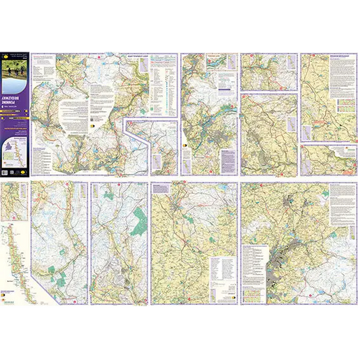
Pennine Bridleway Harvey map
£ 15.95This map, published in 2021, covers the whole 205 mile Pennine Bridleway National Trail from Middleton Top in Derbyshire to Ravenstonedale in Cumbr...
View full details£ 15.95 -
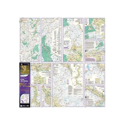
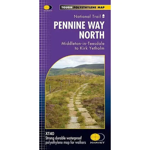
Pennine Way (North) - Harvey map - Middleton-in-Teesdale to Kirk Yetholm
£ 15.95This Harvey map of the Pennine Way covers the northern section of the Trail from Middleton-in-Teesdale to Kirk Yetholm. Please note, the new Harvey...
View full details£ 15.95 -
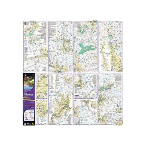
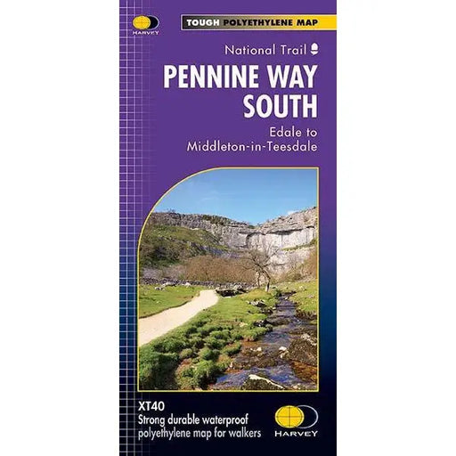
Pennine Way (South) - Harvey map - Edale to Middleton-in-Teesdale
£ 15.95This Harvey map of the Pennine Way covers the southern section of the Trail from Edale to Middleton-in-Teesdale. Please note, the new Harvey maps f...
View full details£ 15.95 -
 Sold out
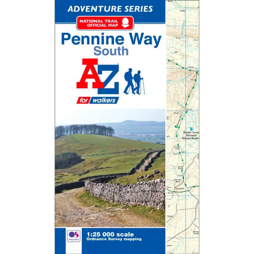
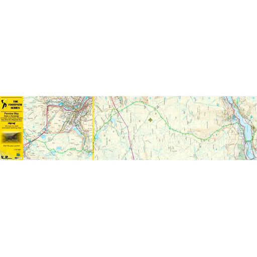
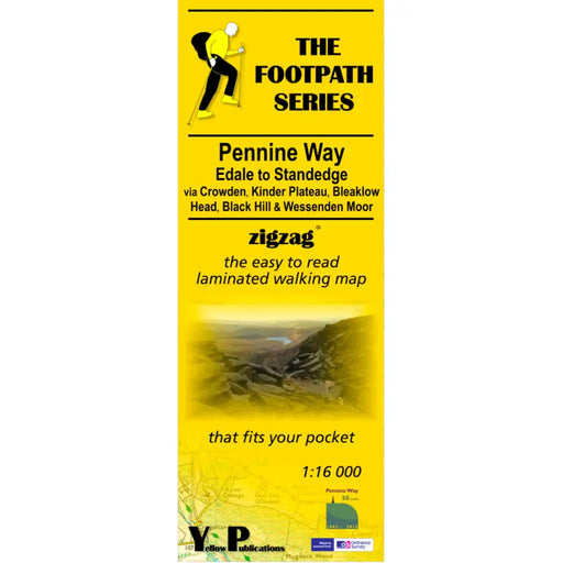
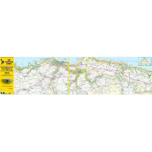
Pennine Way Zigzag map - Edale to Standedge
Original price £ 7.99Current price £ 5.99As their name suggests, Zigzag maps come in a concertina strip format and with 200cm of mapping, they can follow a long distance footpath at a scal...
View full detailsOriginal price £ 7.99Current price £ 5.99Sold out -
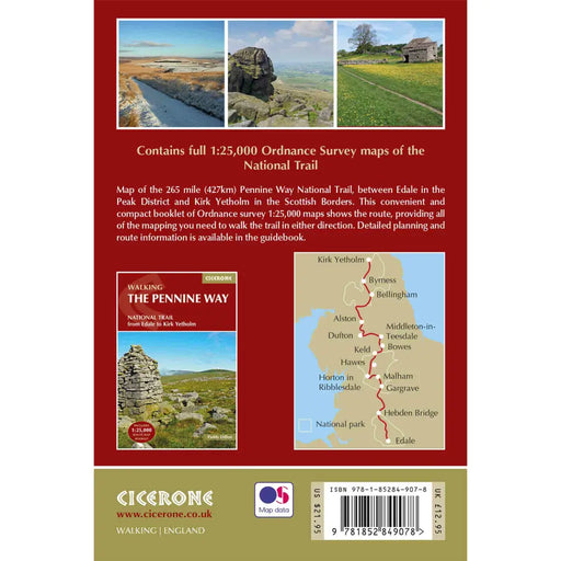
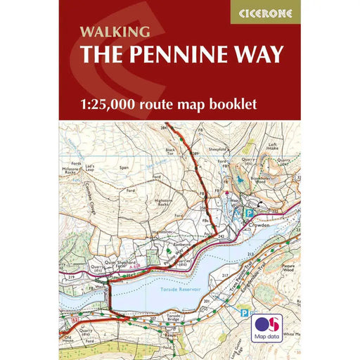
Walking the Pennine Way map booklet
£ 12.95The very best map to accompany you on your Pennine Way adventure. This pocket-sized map booklet comes in a waterproof cover and gives clear Ordnanc...
View full details£ 12.95 -
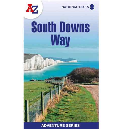
South Downs Way A-Z Adventure Atlas
£ 9.99New for 2024, this A-Z Adventure series map of the South Downs Way uses 1:25k scale mapping in a convenient book format. Covering the entire South...
View full details£ 9.99 -
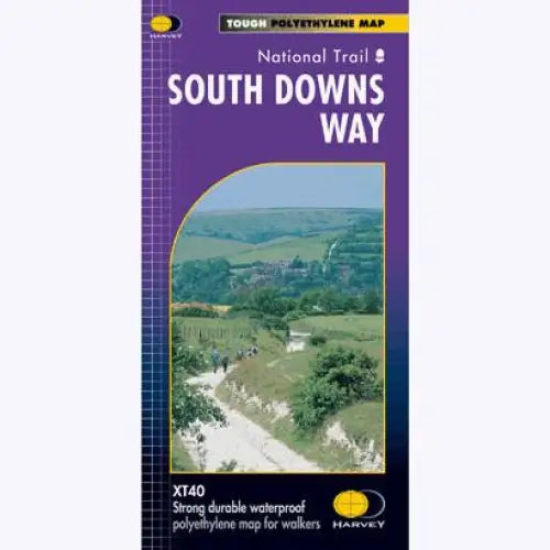
South Downs Way Harvey map
£ 14.50Tough, light and 100% waterproof. Detailed mapping with full legend. National Grid - can be used with GPS. 1:40,000 scale. Compact and light - hal...
View full details£ 14.50 -

South Downs Way Guidemap
£ 14.95This easy-to-use folding map from Vertebrate is unique in that it provides custom itinerary planning for walkers, trekkers, fastpackers and trail r...
View full details£ 14.95 -
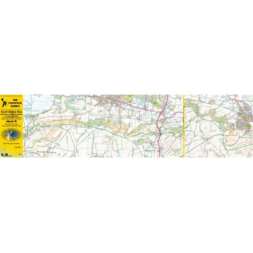

South Downs Way Zigzag map - Amberley to Ditchling Beacon
£ 7.99As their name suggests, Zigzag maps come in a concertina strip format and with 200cm of mapping, they can follow a long distance footpath at a scal...
View full details£ 7.99 -
 Save 25%
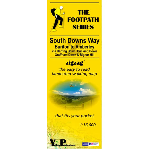
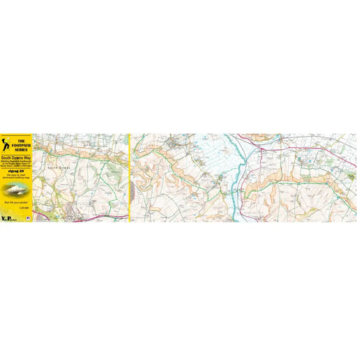
South Downs Way Zigzag map - Buriton to Amberley
Original price £ 7.99Current price £ 5.99As their name suggests, Zigzag maps come in a concertina strip format and with 200cm of mapping, they can follow a long distance footpath at a scal...
View full detailsOriginal price £ 7.99Current price £ 5.99Save 25% -
 Sold out
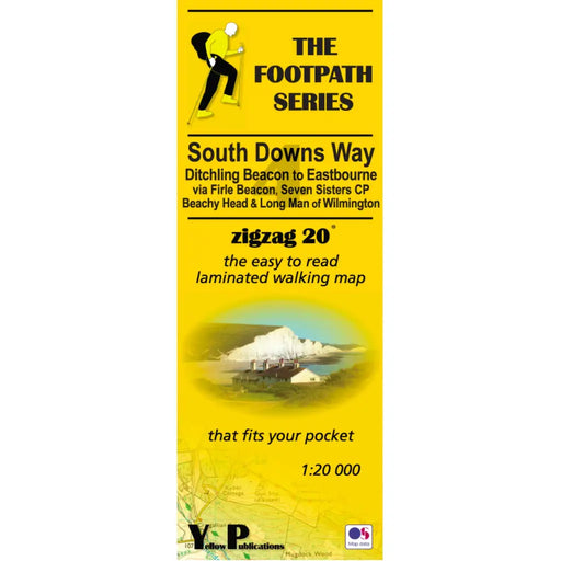
South Downs Way Zigzag map - Ditchling Beacon to Eastbourne
Original price £ 7.99Current price £ 5.99As their name suggests, Zigzag maps come in a concertina strip format. The maps are made for convenience; you need only unfold 2 panels at a time a...
View full detailsOriginal price £ 7.99Current price £ 5.99Sold out -
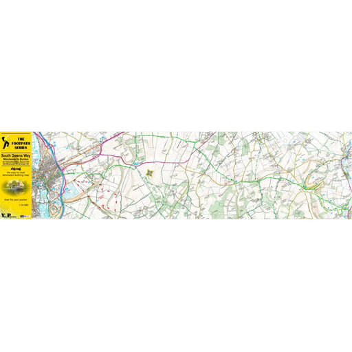
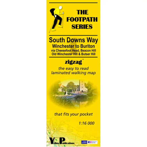
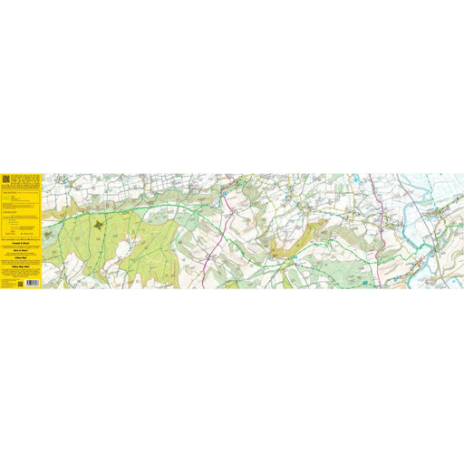
South Downs Way Zigzag map - Winchester to Buriton
£ 7.99As their name suggests, Zigzag maps come in a concertina strip format and with 200cm of mapping, they can follow a long distance footpath at a scal...
View full details£ 7.99 -
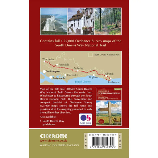
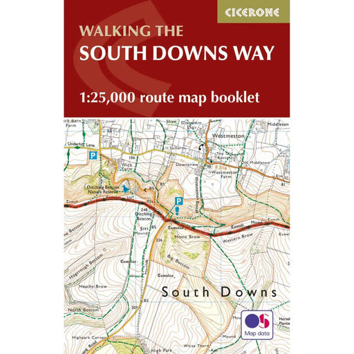
Walking the South Downs Way map booklet
£ 12.95All the mapping you need to complete the 100 mile (160km) South Downs Way National Trail, between Eastbourne and Winchester. With easy walking on a...
View full details£ 12.95 -
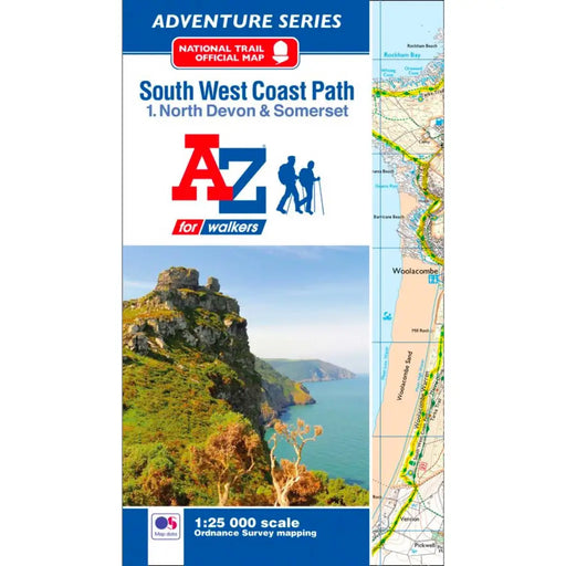
South West Coast Path 1 North Devon & Somerset A-Z Adventure Atlas
£ 8.95The A-Z Adventure series features the accuracy and quality of OS Explorer mapping in a convenient book, complete with index. This A-Z Adventure Atl...
View full details£ 8.95 -
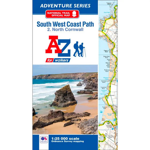
South West Coast Path 2 North Cornwall A-Z Adventure Atlas
£ 8.95The A-Z Adventure series features the accuracy and quality of OS Explorer mapping in a convenient book, complete with index.This A-Z Adventure Atla...
View full details£ 8.95 -
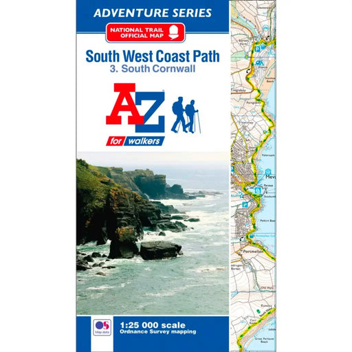
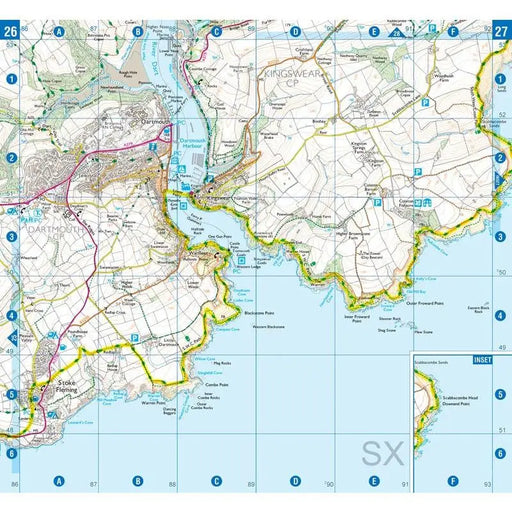
South West Coast Path 3 South Cornwall A-Z Adventure Atlas
£ 8.95The A-Z Adventure series features the accuracy and quality of OS Explorer mapping in a convenient book, complete with index.This A-Z Adventure Atla...
View full details£ 8.95 -
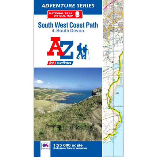
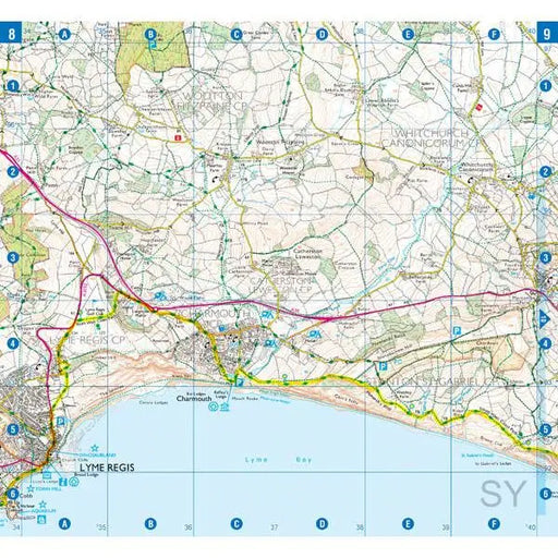
South West Coast Path 4 South Devon A-Z Adventure Atlas
£ 8.95The A-Z Adventure series features the accuracy and quality of OS Explorer mapping in a convenient book, complete with index.This A-Z Adventure Atla...
View full details£ 8.95 -
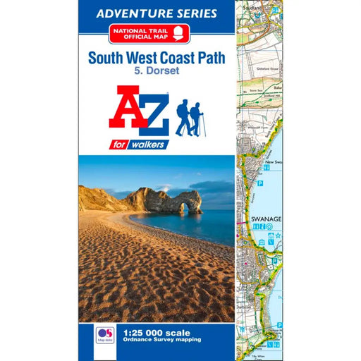
South West Coast Path 5 Dorset A-Z Adventure Atlas
£ 8.95The A-Z Adventure series features the accuracy and quality of OS Explorer mapping in a convenient book, complete with index. This A-Z Adventure Atl...
View full details£ 8.95 -
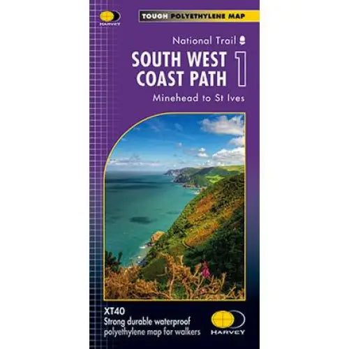
South West Coast Path 1 Harvey map
£ 14.50Three HARVEY maps cover the whole 630 mile route. Each map covers a section of the Path suitable for 2 weeks of walking. Map 1 covers the Path from...
View full details£ 14.50 -

South West Coast Path 2 Harvey map
£ 14.50Three HARVEY maps cover the whole 630 mile route. Each map covers a section of the Path suitable for 2 weeks of walking. Map 2 covers the Path from...
View full details£ 14.50 -
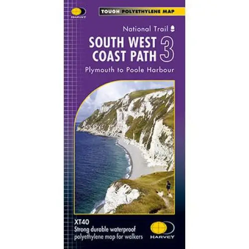
South West Coast Path 3 Harvey map
£ 14.50Three HARVEY maps cover the whole 630 mile route. Each map covers a section of the Path suitable for 2 weeks of walking. Map 2 covers the Path from...
View full details£ 14.50 -
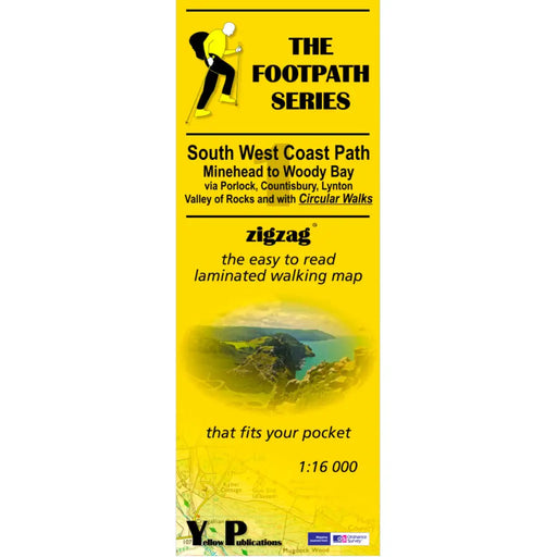
South West Coast Path Zigzag map - 1 - Minehead to Woody Bay
£ 7.99This zigzag map covers the Minehead to Woody Bay section of the South West Coast Path, via Porlock, Countisbury, Lynton and the Valley of Rocks. As...
View full details£ 7.99 -
 Sold out
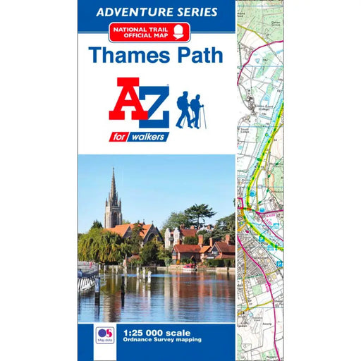
Thames Path A-Z Adventure Atlas
£ 8.95This map is out of print - we don't know if the publisher intends to re-print. Instead, we recommend the Cicerone Press Thames Path map booklet. T...
View full details£ 8.95Sold out -
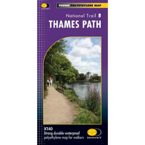
Thames Path Harvey map
£ 14.50Tough, light and 100% waterproof. Detailed mapping with full legend. National Grid - can be used with GPS. 1:40,000 scale. Compact and light - hal...
View full details£ 14.50 -
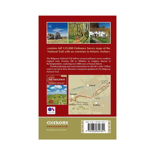
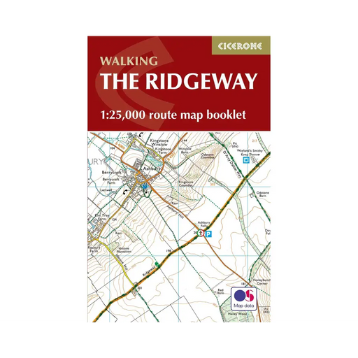
Walking The Ridgeway map booklet
£ 7.95All the mapping you need to walk The Ridgeway National Trail an 87-mile (139km) route through southern England from Avebury in Wiltshire to Ivingho...
View full details£ 7.95 -
 Sold out
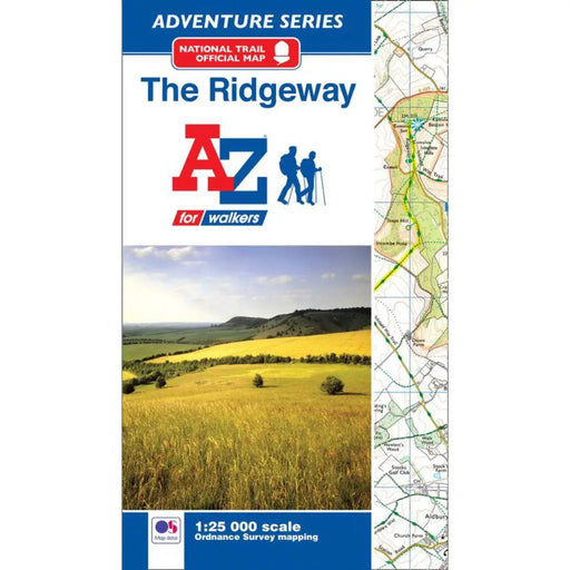
The Ridgeway A-Z Adventure Atlas
£ 8.95We're sorry but The Ridgeway A-Z Adventure Atlas is out of stock and is unlikely to be re-printed. We recommend the Sparky Guides Ridgeway booklet...
View full details£ 8.95Sold out -
 Sold out
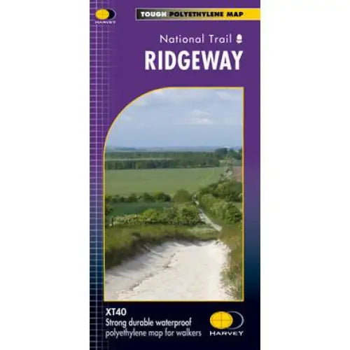
Ridgeway Harvey map
£ 14.50Compact and light - the map itself weighs just 60gms - a third of the weight of a laminated map, and much less bulky. And you can fold or refold it...
View full details£ 14.50Sold out -
 Sold out
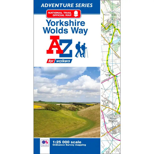
Yorkshire Wolds Way A-Z Adventure Atlas
£ 8.95This map is no longer available. We recommend the Harvey Maps Yorkshire Wolds Way map as an alternative. -----------------------------------------...
View full details£ 8.95Sold out -
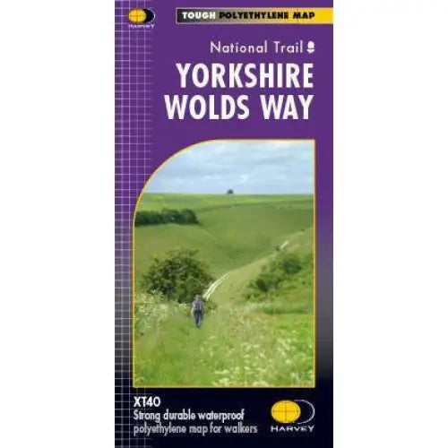
Yorkshire Wolds Way Harvey map
£ 14.50A tough, light, durable and 100% waterproof map of the Yorkshire Wolds Way National Trail. Entire National Trail route on one map. Includes Rights ...
View full details£ 14.50 -

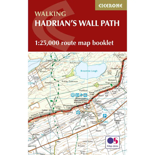
Walking the Hadrian's Wall Path map booklet
£ 9.95All the mapping you need to complete the 84 mile/135km length of the Hadrian's Wall between Bowness-on-Solway in the west and Wallsend in Newcastle...
View full details£ 9.95 -
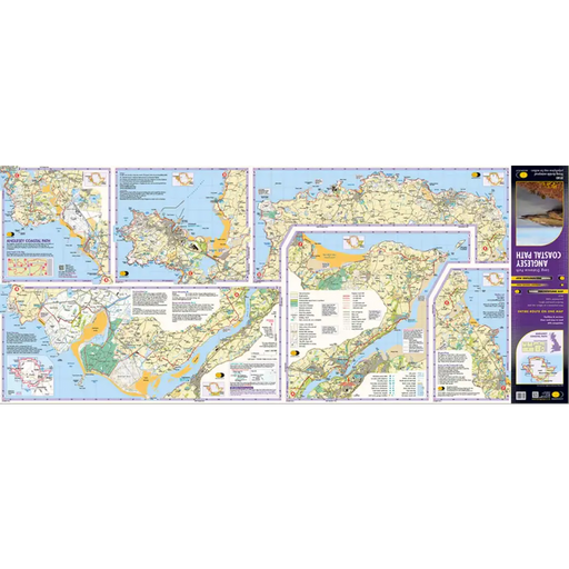
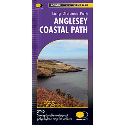
Anglesey Coastal Path Harvey map
£ 14.50This is a map covering the whole of the Anglesey Coast Path. It is everything you need to explore this amazing stretch of the Wales Coast Path. At ...
View full details£ 14.50 -
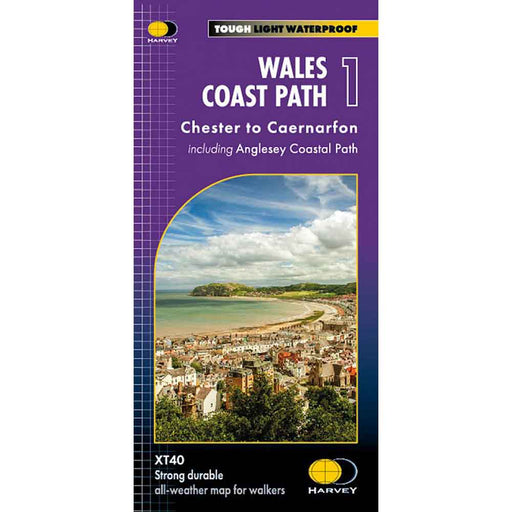
Wales Coast Path 1 - Chester to Caernarfon - Harvey map
£ 16.50The 1400km (870 mile) Wales Coast Path is a long distance trail following the entire coastline of Wales. This varied trail offers rugged and unspoi...
View full details£ 16.50 -
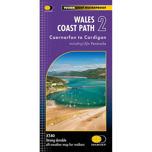
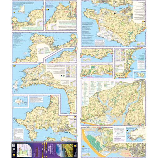
Wales Coast Path 2 -Caernarfon to Cardigan - Harvey map
£ 16.50The 1400km (870 mile) Wales Coast Path is a long distance trail following the entire coastline of Wales. This varied trail offers rugged and unspoi...
View full details£ 16.50 -
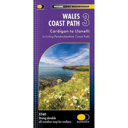
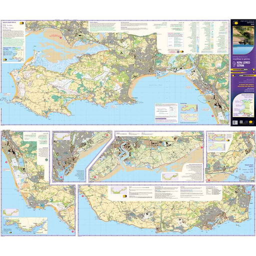
Wales Coast Path 3 - Cardigan to Llanelli & Pembrokeshire Coast Path - Harvey map
£ 16.50This map is the third of a series of 4 Harvey maps covering the whole of the Wales Coast Path. Each map covers a section of the Path suitable for a...
View full details£ 16.50 -
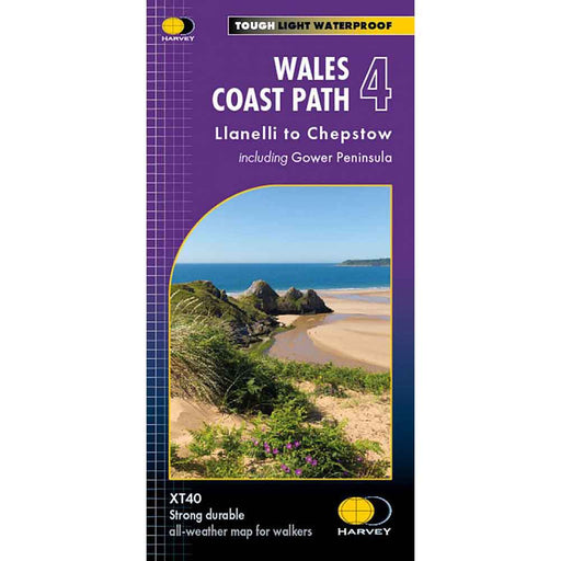
Wales Coast Path 4 - Llanelli to Chepstow - Harvey map
£ 16.50This map is the forth of a series of 4 Harvey maps covering the whole of the Wales Coast Path. Each map covers a section of the Path suitable for a...
View full details£ 16.50


