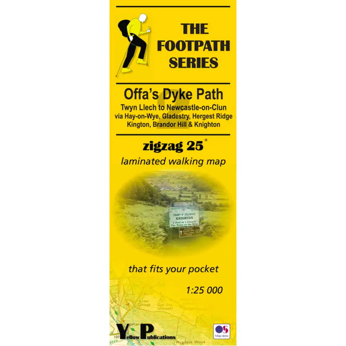
Offa's Dyke Path Zigzag map - Twyn Llech to Newcastle-on-Clun
£ 7.99
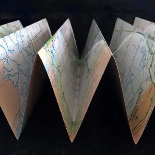
As their name suggests, Zigzag maps come in a concertina strip format. The maps are made for convenience; you need only unfold 2 panels at a time and then keep on flipping over to follow the path. Zigzag is laminated for weatherproofing and will still fit a pocket when folded.
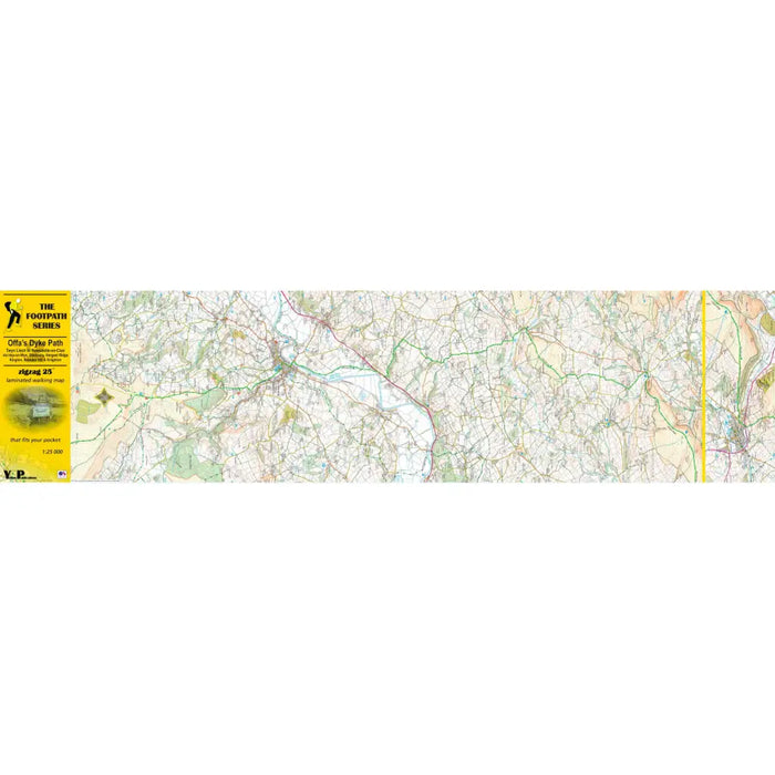
This Offa's Dyke Path map covers the section between Twyn Llech and Newcastle-on-Clun via Hay-on-Wye, Gladestry, Hergest Ridge, Kington, Brandor Hill and Knighton. The Offa's Dyke Path zigzag maps are 1: 25 000.
Maps come with a useful scale ruler.
Map: Ordnance Survey Explorer
Format: Double-sided, laminated concertina strip map
Cover size: 10 x 27 cm
Map size: 100 x 26 cm (per side)