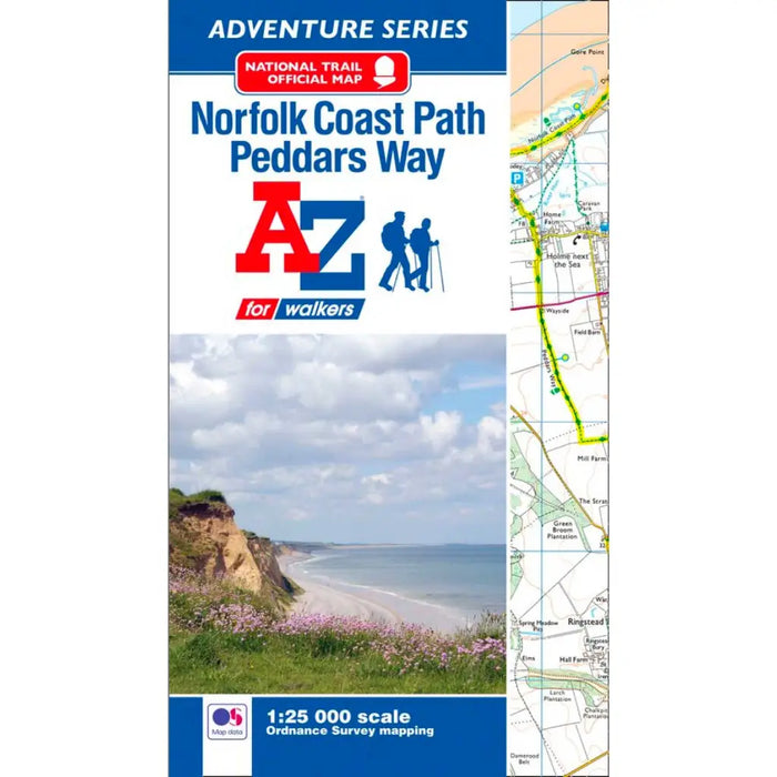
Peddars Way & Norfolk Coast Path A-Z Adventure Atlas
The A-Z Adventure series features the accuracy and quality of the 25k OS Explorer mapping in a convenient book, complete with index.
This A-Z Adventure Atlas features continuous Ordnance Survey mapping providing complete coverage of Peddars Way (from Knettishall Heath to Holme next the Sea) and the Norfolk Coast Path (from Hunstanton to Hopton on Sea). This atlas includes a route planner providing the distances between places and the amenities available, featuring:
- Information Centres
- Hotels/B&Bs
- Youth Hostels
- Campsites (seasonal opening)
- Restaurants
- Public Houses
- Cafes (seasonal opening)
- Shops
- Petrol Stations
Also featured is advice on safety and security when walking, details of Tourist Information Centres and a selection of QR codes linked to useful websites.
This A-Z Adventure Atlas has the accuracy and quality of OS Explorer mapping indexed within a book, making it the perfect companion for walkers, off-road cyclists, horse riders and anyone wishing to explore the great outdoors.